定價
:NT$ 2759 元優惠價
:90 折 2483 元
無庫存,下單後進貨(到貨天數約45-60天)
下單可得紅利積點:74 點
商品簡介
相關商品
商品簡介
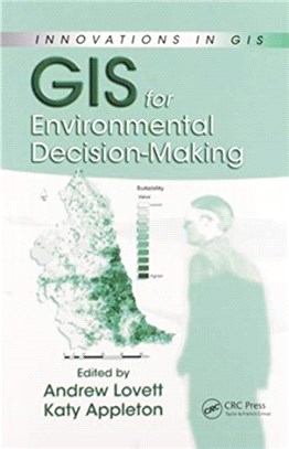
Environmental applications have long been a core use of GIS. However, the effectiveness of GIS-based methods depends on the decision-making frameworks and contexts within which they are employed. GIS for Environmental Decision-Making takes an interdisciplinary look at the capacities of GIS to integrate, analyze, and display data on which decisions must be based.
It provides a broad prospective on the current state of GIS for environmental decision-making and emphasizes the importance of matters related to data, analysis, and modeling tools, as well as stakeholder participation. The book is divided into three sections, which effectively relate to three key aspects of the decision-making process as supported by GIS: data required, tools being developed, and aspects of participation. The first section stresses the ability to integrate data from different sources as a defining characteristic of GIS and illustrates the benefits that this can bring in the context of deriving land-use and other information.
The second section discusses a range of issues concerning the use of GIS for suitability mapping and strategic planning exercises, through illustrative examples. The last section of the book focuses on the use of GIS-based techniques to facilitate public participation in decision-making processes. In particular, it provides an overview of developments in this area, concentrating on how GIS, modeling, and 3D landscape visualization techniques are gradually achieving closer integration.
Given the complex challenges presented by global environmental change, GIS for Environmental Decision-Making provides a clear illustration of how the use of GIS can make significant contributions to trans-disciplinary initiatives to address environmental problems.
主題書展
更多
主題書展
更多書展今日66折
您曾經瀏覽過的商品
購物須知
外文書商品之書封,為出版社提供之樣本。實際出貨商品,以出版社所提供之現有版本為主。部份書籍,因出版社供應狀況特殊,匯率將依實際狀況做調整。
無庫存之商品,在您完成訂單程序之後,將以空運的方式為你下單調貨。為了縮短等待的時間,建議您將外文書與其他商品分開下單,以獲得最快的取貨速度,平均調貨時間為1~2個月。
為了保護您的權益,「三民網路書店」提供會員七日商品鑑賞期(收到商品為起始日)。
若要辦理退貨,請在商品鑑賞期內寄回,且商品必須是全新狀態與完整包裝(商品、附件、發票、隨貨贈品等)否則恕不接受退貨。


