

商品簡介
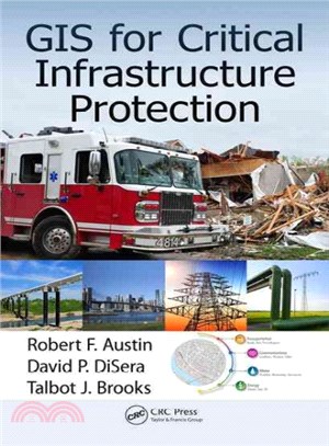
Geographic information systems (GIS) play a primary role in critical infrastructure protection. Protecting and ensuring the continuity of the critical infrastructure of the country is essential to the nation's security, public health and safety, economic vitality, and way of life. This book provides first responders and agencies responsible for critical infrastructure protection with an understanding of the benefits of GIS for their work and a basic knowledge of the range of geographic information tools available to support their efforts.
作者簡介
Dr. Robert F. Austin is a member of the Association of American Geographers, and chairman of the National Geospatial Advisory Committee. He earned his doctorate in geography at the University of Michigan in 1977, and has enjoyed three careers: as a university professor from 1977 to 1985, a private sector scientist and consultant from 1984 to 2007, and a manager in local government from 2007 to 2014. He is also past president and director of the Geospatial Information and Technology Association, a past member of the board of the GIS Certification Institute, and a retired senior member of the IEEE.
David P. DiSera is a vice president and chief technical officer of EMA, Inc., and a member of the National Geospatial Advisory Committee. He is a past president, past director, and past research committee chair of the Geospatial Information and Technology Association (GITA). As a recipient of GITA’s Distinguished Service Award and a two-time recipient of the Urban and Regional Information Systems Association National Leadership Award, DiSera has consulted in the field of geospatial and information technology for nearly 25 years. He has held chief information officer and chief technology officer positions, assisting utilities, local government, and the financial sector.
Talbot J. Brooks is the director of the Center for Interdisciplinary Geospatial Information Technologies at Delta State University, and a member of the National Geospatial Advisory Committee. He has served in every leadership role offered by the Geospatial Information and Technology Association, is a director for the GIS Certification Institute, and chairs the Technical Users Group for the Mississippi Coordinating Council for Remote Sensing and GIS. Brooks has served as a first responder since 1987, is an active member of the Bolivar County Volunteer Fire Department, and is an adjunct instructor for the Mississippi State Fire Academy and National Fire Academy.


您曾經瀏覽過的商品

購物須知
外文書商品之書封,為出版社提供之樣本。實際出貨商品,以出版社所提供之現有版本為主。部份書籍,因出版社供應狀況特殊,匯率將依實際狀況做調整。
無庫存之商品,在您完成訂單程序之後,將以空運的方式為你下單調貨。為了縮短等待的時間,建議您將外文書與其他商品分開下單,以獲得最快的取貨速度,平均調貨時間為1~2個月。
為了保護您的權益,「三民網路書店」提供會員七日商品鑑賞期(收到商品為起始日)。
若要辦理退貨,請在商品鑑賞期內寄回,且商品必須是全新狀態與完整包裝(商品、附件、發票、隨貨贈品等)否則恕不接受退貨。