

滿額折
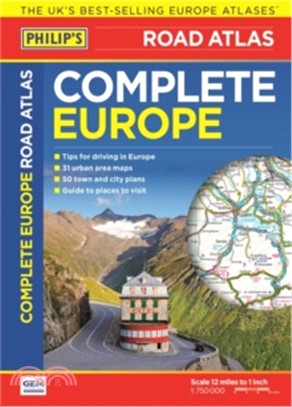
Philip's Complete Road Atlas Europe 2017
商品資訊
相關商品
商品簡介
商品簡介
Philip's Complete Road Atlas Europe 2017 gives more for leisure travellers than any comparable product. In addition to the main maps at 1:750,000, the continental road network is shown at three supplementary scales from 1:250,000 to 1:3M, with ultra-clear detailed maps for urban areas. Scenic routes are highlighted on the road maps, with theme parks and World Heritage sites clearly shown.
The maps also highlight towns with low-emission zones and show motorway rest/parking areas. In addition, Philip's Complete Road Atlas Europe 2017 features a unique fact-finder that provides key statistics, currency information and recent events for each country. Philip's Complete Road Atlas Europe 2017 includes: Up-to-date driving regulations, including speed limits, for every country in Europe; Listings for ski resorts and top visitor attractions, country by country; 23 pages of route-planning maps which enable journeys of over 800 miles to be planned without turning a page; 175 pages of clear, detailed road maps, with scenic routes highlighted and toll, toll-free and pre-pay motorways all clearly marked; Large-scale approach maps for 31 major cities; 50 city-centre plans marking historic buildings and tourist attractions, as well as car parks, head post offices and other facilities.
The maps also highlight towns with low-emission zones and show motorway rest/parking areas. In addition, Philip's Complete Road Atlas Europe 2017 features a unique fact-finder that provides key statistics, currency information and recent events for each country. Philip's Complete Road Atlas Europe 2017 includes: Up-to-date driving regulations, including speed limits, for every country in Europe; Listings for ski resorts and top visitor attractions, country by country; 23 pages of route-planning maps which enable journeys of over 800 miles to be planned without turning a page; 175 pages of clear, detailed road maps, with scenic routes highlighted and toll, toll-free and pre-pay motorways all clearly marked; Large-scale approach maps for 31 major cities; 50 city-centre plans marking historic buildings and tourist attractions, as well as car parks, head post offices and other facilities.


您曾經瀏覽過的商品

購物須知
外文書商品之書封,為出版社提供之樣本。實際出貨商品,以出版社所提供之現有版本為主。部份書籍,因出版社供應狀況特殊,匯率將依實際狀況做調整。
無庫存之商品,在您完成訂單程序之後,將以空運的方式為你下單調貨。為了縮短等待的時間,建議您將外文書與其他商品分開下單,以獲得最快的取貨速度,平均調貨時間為1~2個月。
為了保護您的權益,「三民網路書店」提供會員七日商品鑑賞期(收到商品為起始日)。
若要辦理退貨,請在商品鑑賞期內寄回,且商品必須是全新狀態與完整包裝(商品、附件、發票、隨貨贈品等)否則恕不接受退貨。