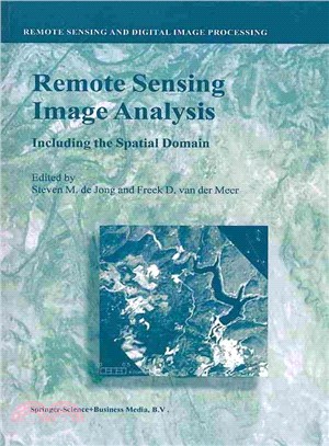
Remote Sensing Image Analysis ― Including the Spatial Domain
商品資訊
系列名:Remote Sensing and Digital Image Processing
ISBN13:9789401740616
出版社:Springer Verlag
作者:Steven M. de Jong (EDT); Freek D. van der Meer (EDT)
出版日:2013/11/13
裝訂/頁數:平裝/376頁
規格:22.2cm*15.2cm*1.9cm (高/寬/厚)
商品簡介
Remote Sensing image analysis is mostly done using only spectral information on a pixel by pixel basis. Information captured in neighbouring cells, or information about patterns surrounding the pixel of interest often provides useful supplementary information. This book presents a wide range of innovative and advanced image processing methods for including spatial information, captured by neighbouring pixels in remotely sensed images, to improve image interpretation or image classification. Presented methods include different types of variogram analysis, various methods for texture quantification, smart kernel operators, pattern recognition techniques, image segmentation methods, sub-pixel methods, wavelets and advanced spectral mixture analysis techniques. Apart from explaining the working methods in detail a wide range of applications is presented covering land cover and land use mapping, environmental applications such as heavy metal pollution, urban mapping and geological applications to detect hydrocarbon seeps.
The book is meant for professionals, PhD students and graduates who use remote sensing image analysis, image interpretation and image classification in their work related to disciplines such as geography, geology, botany, ecology, forestry, cartography, soil science, engineering and urban and regional planning.
主題書展
更多書展本週66折
您曾經瀏覽過的商品
購物須知
外文書商品之書封,為出版社提供之樣本。實際出貨商品,以出版社所提供之現有版本為主。部份書籍,因出版社供應狀況特殊,匯率將依實際狀況做調整。
無庫存之商品,在您完成訂單程序之後,將以空運的方式為你下單調貨。為了縮短等待的時間,建議您將外文書與其他商品分開下單,以獲得最快的取貨速度,平均調貨時間為1~2個月。
為了保護您的權益,「三民網路書店」提供會員七日商品鑑賞期(收到商品為起始日)。
若要辦理退貨,請在商品鑑賞期內寄回,且商品必須是全新狀態與完整包裝(商品、附件、發票、隨貨贈品等)否則恕不接受退貨。


