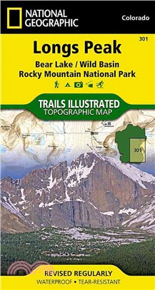
National Geographic Trails Illustrated Map Longs Peak ─ Colorado
商品資訊
系列名:Trails Illustrated
ISBN13:9781566954310
出版社:Natl Geographic Maps
作者:National Geographic Maps
出版日:2008/01/01
裝訂/頁數:平裝/2頁
規格:19.1cm*10.8cm*1.3cm (高/寬/厚)
商品簡介
相關商品
商品簡介
‧ Waterproof ‧ Tear-Resistant ‧ Topographic Map
Coverage of the Long's Peak area of Rocky Mountain National Park includes Roosevelt National Forest, Indian Peaks Wilderness, Paradise Park Research Natural Area, McGregor Ranch Conservation Easement. Towns: Estes Park; Allenspark, Meeker Park. Includes UTM grids for use with your GPS unit.
Coverage of the Long's Peak area of Rocky Mountain National Park includes Roosevelt National Forest, Indian Peaks Wilderness, Paradise Park Research Natural Area, McGregor Ranch Conservation Easement. Towns: Estes Park; Allenspark, Meeker Park. Includes UTM grids for use with your GPS unit.
- Sheet Size = 32.00 x 22.00
- Folded Size = 4.00 x 7.50
- Scale = 1:25,000
主題書展
更多書展今日66折
您曾經瀏覽過的商品
購物須知
外文書商品之書封,為出版社提供之樣本。實際出貨商品,以出版社所提供之現有版本為主。部份書籍,因出版社供應狀況特殊,匯率將依實際狀況做調整。
無庫存之商品,在您完成訂單程序之後,將以空運的方式為你下單調貨。為了縮短等待的時間,建議您將外文書與其他商品分開下單,以獲得最快的取貨速度,平均調貨時間為1~2個月。
為了保護您的權益,「三民網路書店」提供會員七日商品鑑賞期(收到商品為起始日)。
若要辦理退貨,請在商品鑑賞期內寄回,且商品必須是全新狀態與完整包裝(商品、附件、發票、隨貨贈品等)否則恕不接受退貨。


