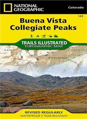
National Geographic Trails Illustrated Map Buena Vista / Collegiate Peaks ― Colorado
商品資訊
系列名:National Geographic Trails Illustrated Map
ISBN13:9781566953252
出版社:Natl Geographic Maps
作者:National Geographic Maps
出版日:2006/01/01
裝訂/頁數:平裝/2頁
規格:19.1cm*10.8cm*1.3cm (高/寬/厚)
商品簡介
相關商品
商品簡介
‧ Waterproof ‧ Tear-Resistant ‧ Topographic Map
Coverage includes Gunnison and San Isabel national forests; Collegiate Peaks Wilderness; the cities of Buena Vista, Princeton, Rockdale and Winfield; Cottonwood, Hartenstein and Bear lakes; the Arkansas River; Cottonwood and Browns passes. 14ers: Mt Oxford, Belford, Harvard, Columbia, Yale, Missouri Mountain and Huron Peak. Includes UTM grids for use with your GPS unit.
Coverage includes Gunnison and San Isabel national forests; Collegiate Peaks Wilderness; the cities of Buena Vista, Princeton, Rockdale and Winfield; Cottonwood, Hartenstein and Bear lakes; the Arkansas River; Cottonwood and Browns passes. 14ers: Mt Oxford, Belford, Harvard, Columbia, Yale, Missouri Mountain and Huron Peak. Includes UTM grids for use with your GPS unit.
- Map Scale = 1:40,680
- Sheet Size = 22" x 32"
- Folded Size = 4" x 7.5"
主題書展
更多書展今日66折
您曾經瀏覽過的商品
購物須知
外文書商品之書封,為出版社提供之樣本。實際出貨商品,以出版社所提供之現有版本為主。部份書籍,因出版社供應狀況特殊,匯率將依實際狀況做調整。
無庫存之商品,在您完成訂單程序之後,將以空運的方式為你下單調貨。為了縮短等待的時間,建議您將外文書與其他商品分開下單,以獲得最快的取貨速度,平均調貨時間為1~2個月。
為了保護您的權益,「三民網路書店」提供會員七日商品鑑賞期(收到商品為起始日)。
若要辦理退貨,請在商品鑑賞期內寄回,且商品必須是全新狀態與完整包裝(商品、附件、發票、隨貨贈品等)否則恕不接受退貨。


![Wicked [Movie Tie-In]:魔法壞女巫電影原著](https://cdnec.sanmin.com.tw/product_images/006/006285284.jpg)


