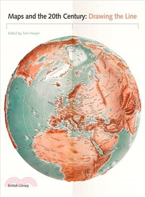
Maps and the 20th Century ─ Drawing the Line
商品資訊
ISBN13:9780712356626
出版社:British Library Board
作者:Tom Harper (EDT)
出版日:2017/04/01
裝訂/頁數:精裝/272頁
規格:28.6cm*22.9cm*3.2cm (高/寬/厚)
商品簡介
作者簡介
相關商品
商品簡介
The 20th century was a period of profound political, social and technological change. Population growth and movement, revolutions in transportation and communication, and the onset of the digital age meant that life would never be the same. It is impossible to overstate the significance of maps, which crept into everyday life during this period. They were both unsung heroes and unreliable witnesses—capable of informing but also misleading. They are always subjective, and always worthy of interrogation. Highlights of this global study include a trench-map of the Somme battlefields, a bomb damage map of London, early maps of the ocean floor, a poster showing Mao studying a map on his Long March and a Russian moon globe from 1961. Other maps discussed here include: the United Nations flag, the first stamps of Independent Latvia (1918) printed on the backs of maps, and a motorway sign. As well as sheet maps and atlases, the book gathers models, stamps, medals, manuscripts, printed books, embroidery and photographs. The book also examines changes in mapping technology, from the land surveys of 1900 to the development of satellite imagery by 2000.
作者簡介
Tom Harper is lead curator of antiquarian maps at the British Library and the coauthor of A History of the Twentieth Century in 100 Maps.
主題書展
更多
主題書展
更多書展今日66折
您曾經瀏覽過的商品
購物須知
外文書商品之書封,為出版社提供之樣本。實際出貨商品,以出版社所提供之現有版本為主。部份書籍,因出版社供應狀況特殊,匯率將依實際狀況做調整。
無庫存之商品,在您完成訂單程序之後,將以空運的方式為你下單調貨。為了縮短等待的時間,建議您將外文書與其他商品分開下單,以獲得最快的取貨速度,平均調貨時間為1~2個月。
為了保護您的權益,「三民網路書店」提供會員七日商品鑑賞期(收到商品為起始日)。
若要辦理退貨,請在商品鑑賞期內寄回,且商品必須是全新狀態與完整包裝(商品、附件、發票、隨貨贈品等)否則恕不接受退貨。


![Wicked [Movie Tie-In]:魔法壞女巫電影原著](https://cdnec.sanmin.com.tw/product_images/006/006285284.jpg)


