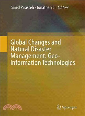
Global Changes and Natural Disaster Management ― Geo-information Technologies
商品資訊
ISBN13:9783319518435
出版社:Springer Verlag
作者:Saied Pirasteh (EDT); Jonathan Li (EDT)
出版日:2017/03/17
裝訂:精裝
規格:23.5cm*15.5cm (高/寬)
定價
:NT$ 9900 元優惠價
:90 折 8910 元
若需訂購本書,請電洽客服 02-25006600[分機130、131]。
商品簡介
作者簡介
相關商品
商品簡介
This book is a collection of carefully selected, edited and peer reviewed contributions resulting from the 7th GiT4NDM- 5th EOGC 2015. The book aims to transfer ideas from academicians to professionals, politicians, and decision makers. Thus, the main audience can be found at academic and research institutes, NGOs, etc. The book is designed to advance research and development as well as to encourage innovative applications of Geomatics technologies in global change studies, and to specifically address the international aspects of the coupled social, land and climate systems in global change studies using advanced geospatial tools, spatiotemporal models, and earth observation systems.
Readers will benefit from this book because it provides ongoing research and ideas related to earth observations and global change, natural hazards and disaster management studies with respect to geospatial information technology, remote sensing, and global navigation satellite systems.
作者簡介
Saied Pirasteh is the Director of WIDM.Inc (www.widm.ca) Canada. He is also a Senior Scientist and the Assistant Head of the Mobile Mapping Lab at University of Waterloo. His research skills are in multi-disciplinary in applied geology and remote sensing & GIS applications including structural geology, exploration, and tectonic geomorphology, hydrology, watershed basin analysis, environmental issues and climate change, natural resources, natural hazards, and disaster management.
He obtained his Bachelor (1998), Master (2000), and PhD in 2004 from Aligarh Muslim University, India. He has supervised 14 PhD and MSc students internationally. He is also pursuing his second PhD in geography and environmental management (Applied LiDAR and Mobile Laser Scanning Systems) at the University of Waterloo. He is author/co-author of more than 150 publications in refereed journals, conference proceedings and books. He is currently the Editor-in-Chief of the International Geoinformatics Research and Development Journal (IGRDJ); and the founder of the International Association of Geo-information and Communication Technologies (GeoICT) Ontario, as well as International Conference on Geo-information Technologies for Natural Disaster Management (GiT4NDM). Jonathan Li is professor of geomatics at the Department of Geography and Environmental Management. He holds a Ph.D. degree in geomatics engineering from the University of Cape Town, South Africa in 2000. Prior to joining the University of Waterloo in 2007, he was on the faculty at Ryerson University and the University of Regina (2000-2006).
Professor Li’s research interests lie mainly in the areas of remote sensing and geographical information science. The focus is placed on use of the state-of-the-art Earth observation and mobile mapping systems to derive spatial and attribute information to support effective urban-suburban planning and environmental management activities; to extract geometric information of urban structures for developing theories and models of urban morphology; to detect land use and land cover changes to study spatiotemporal dynamics and consequences of urbanization as a major form of global changes.
主題書展
更多


