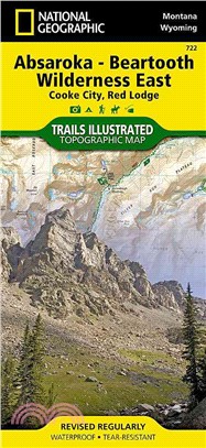
National Geographic Absaroka-beartooth Wilderness East Cooke City, Red Lodge Map
商品資訊
系列名:National Geographic Trails Illustrated Map
ISBN13:9781566955829
出版社:Natl Geographic Society Maps
作者:National Geographic Maps - Trails Illustrated (COR)
出版日:2013/01/01
裝訂/頁數:平裝/2頁
規格:23.5cm*10.8cm*0.6cm (高/寬/厚)
商品簡介
• Waterproof • Tear-Resistant • Topographic Map
National Geographic's Trails Illustrated map of Absaroka-Beartooth Wilderness East delivers unmatched detail and valuable information to assist you in your exploration of this breathtaking wilderness. The area's unique terrain, with snowcapped peaks, glaciers, alpine lakes and plateaus is the map's core feature, with detailed elevation contours, shaded relief, vegetation, and water features. Expertly researched and created in partnership with local land management agencies, the map features key points of interest including East Rosebud; Mystic Lake; Stillwater River; Cooke City; Red Lodge; Beartooth Highway Scenic Byway; and portions of Gallatin, Custer, and Shoshone national forests.
This map can guide you off the beaten path and back again with over 700 miles of mapped trails including trails for hiking, cross-country skiing, horseback riding, and snowmobiling. Trail mileage between intersections will help you choose the path that's right for you. Recreation features are clearly marked including campgrounds, trailheads, ski areas, fishing and boat access, and points of interest. A variety of helpful information about stock use, recommended backcountry camp setup, and bear safety tips are included as well.
Every Trails Illustrated map is printed on "Backcountry Tough" waterproof, tear-resistant paper. A full UTM grid is printed on the map to aid with GPS navigation.
Other features found on this map include: Absaroka-Beartooth Wilderness, Beartooth Mountains, Castle Mountain, Cathedral Peak, Custer National Forest, Gallatin National Forest, Granite Peak, Granite Range, North Absaroka Wilderness, Pilot Peak, Shoshone National Forest, Silver Run Plateau, Yellowstone National Park.
- Map Scale = 1:70,000
- Sheet Size = 37.75" x 25.5"
- Folded Size = 4.25" x 9.25"
主題書展
更多書展今日66折
您曾經瀏覽過的商品
購物須知
外文書商品之書封,為出版社提供之樣本。實際出貨商品,以出版社所提供之現有版本為主。部份書籍,因出版社供應狀況特殊,匯率將依實際狀況做調整。
無庫存之商品,在您完成訂單程序之後,將以空運的方式為你下單調貨。為了縮短等待的時間,建議您將外文書與其他商品分開下單,以獲得最快的取貨速度,平均調貨時間為1~2個月。
為了保護您的權益,「三民網路書店」提供會員七日商品鑑賞期(收到商品為起始日)。
若要辦理退貨,請在商品鑑賞期內寄回,且商品必須是全新狀態與完整包裝(商品、附件、發票、隨貨贈品等)否則恕不接受退貨。


