定價
:NT$ 2399 元優惠價
:90 折 2159 元
無庫存,下單後進貨(到貨天數約45-60天)
下單可得紅利積點:64 點
商品簡介
相關商品
商品簡介
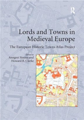
This volume is based on possibly the biggest single Europe-wide project in urban history. In 1955 the International Commission for the History of Towns established the European historic towns atlas project in accordance with a common scheme in order to encourage comparative urban studies. Although advances in urban archaeology since the 1960s have highlighted the problematic relationship between the oldest extant town plan and the actual origins of a town, the large-scale cadastral maps as they have been made available by the European historic towns atlas project are still necessary if we want to understand the evolution of the physical form of our towns.
By 2014 the project consisted of over 500 individual publications from over 18 different countries across Europe. Each atlas comprises at least a core-map at the scale of 1:2500, analytical maps and an explanatory text. The time has come to use this enormous database that has been compiled over the last 40 years.
This volume, itself based on a conference related to this topic that was held in the Royal Irish Academy in Dublin in 2006, takes up this challenge. The focus of the volume is on the question of how seigneurial power influenced the creation of towns in medieval Europe and of how this process in turn influenced urban form. Part I of the volume addresses two major issues: the history of the use of town plans in urban research and the methodological challenges of comparative urban history.
Parts II and III constitute the core of the book focusing on the dynamic relationship between lordship and town planning in the core area of medieval Europe and on the periphery. In Part IV the symbolic meaning of town plans for medieval people is discussed. Part V consists of critical contributions by an archaeologist, an art historian and an historical geographer.
By presenting case studies by leading researchers from different European countries, this volume combines findings that were hitherto not available in English
主題書展
更多
主題書展
更多書展今日66折
您曾經瀏覽過的商品
購物須知
外文書商品之書封,為出版社提供之樣本。實際出貨商品,以出版社所提供之現有版本為主。部份書籍,因出版社供應狀況特殊,匯率將依實際狀況做調整。
無庫存之商品,在您完成訂單程序之後,將以空運的方式為你下單調貨。為了縮短等待的時間,建議您將外文書與其他商品分開下單,以獲得最快的取貨速度,平均調貨時間為1~2個月。
為了保護您的權益,「三民網路書店」提供會員七日商品鑑賞期(收到商品為起始日)。
若要辦理退貨,請在商品鑑賞期內寄回,且商品必須是全新狀態與完整包裝(商品、附件、發票、隨貨贈品等)否則恕不接受退貨。


